If you have ever needed a high-resolution map for a print layout, site plan, or design presentation, you know that taking a quick screenshot just does not work.
A standard screenshot is capped at your display's pixel resolution. While it might look fine on a monitor, it falls apart the moment you zoom in, print it, or drop it into a large document. It also drags along unwanted screen clutter: search bars, navigation buttons, and browser UI elements.
Using Map Builder allows you to bypass these limitations and export clean, ultra-high-resolution map images tailored to your exact specifications.
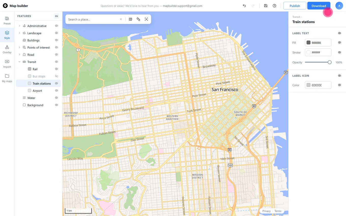
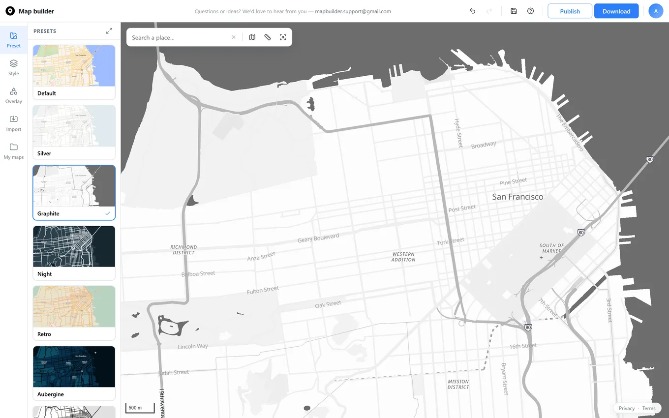
Head over to mapbuilder.app. Use the search bar to look up a specific address, city, or landmark, or simply drag across the canvas to locate your area of interest. Then click the "Download" button in the top-right corner.
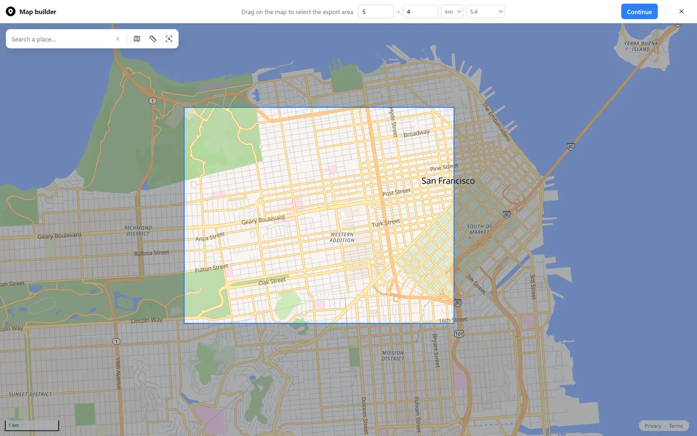
Drag directly on the map to set your export bounds. At the top of the screen, you can specify the exact width and height in miles or kilometers, and choose a specific aspect ratio.
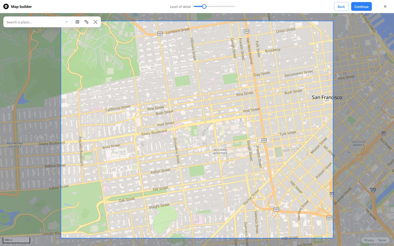
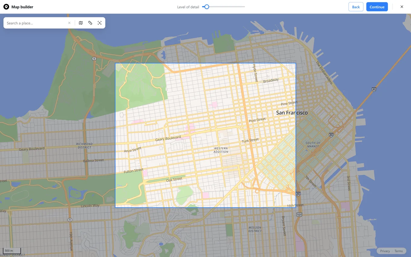
If you select a large area in the previous step, you might not be able to see fine geographic elements in the default view. This step lets you choose the exact level of detail you want to include in the downloaded image using the top slider.
You'll notice that when you zoom in, the bounding box you selected stays the same, but more details, like building footprints and small side roads, become visible. Once you are happy with the level of detail, click next.
If your map includes overlays like markers or shapes, you will see two additional sliders for marker size and shape stroke weight. We recommend setting these first so you can see how large the markers look relative to the total export area. Once you adjust the level of detail and zoom in, it can be harder to gauge marker proportions in the final output.
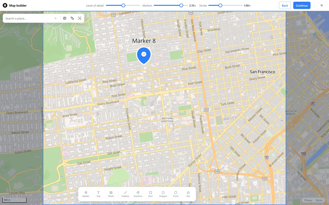
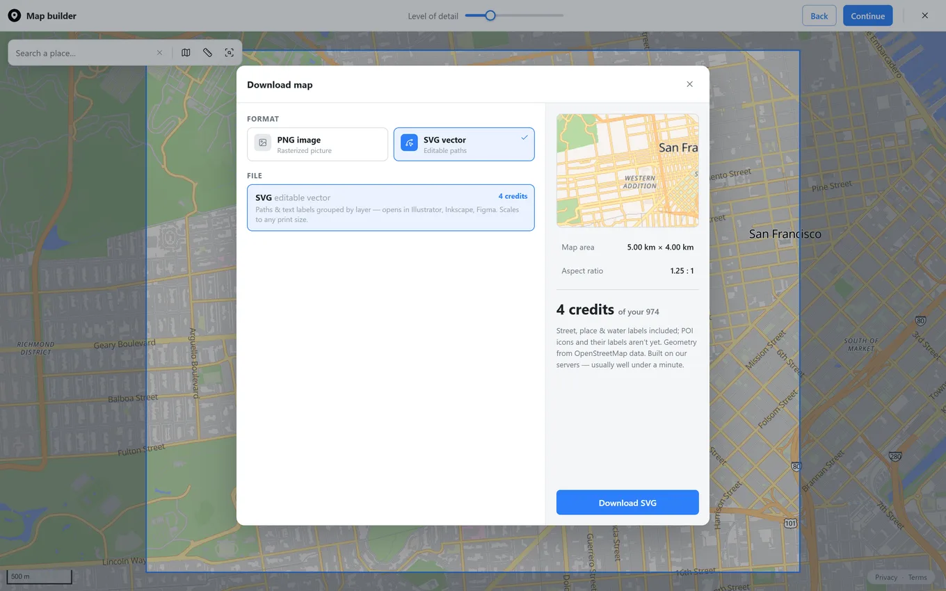
The last step is to choose the format and resolution of your downloaded map. At the top of the modal, select either PNG or SVG format.
If you choose PNG, you have two options for setting resolution:
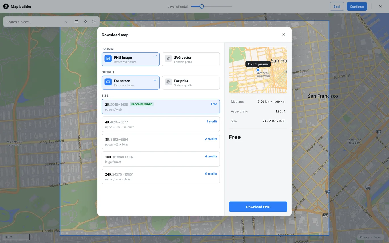
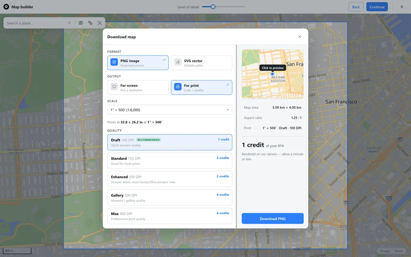
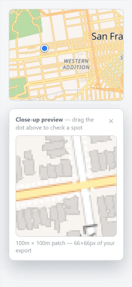
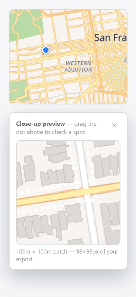
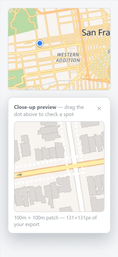
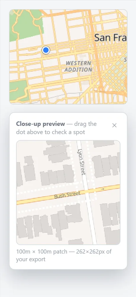
On the right side of the screen, you can preview a small section of your map to compare resolutions and decide which one works best.
Note: 2K map downloads are 100% free, instant, and unlimited, with no account creation or watermarks required. It is more than enough for most use cases.
If you need to edit map elements like roads and buildings in external software, select the SVG Vector format. Every road and building exports as a real, fully editable vector path that stays crisp at any size, unlike a blown-up raster screenshot. You can then import the SVG straight into tools like AutoCAD, Illustrator, or Figma for further editing.
Before you download the map, you can recolor roads, water, parks, and buildings to match your project aesthetic. Map Builder provides 17 presets to start from, as well as fully custom color controls for every layer. You can also switch to a Satellite or Terrain basemap if you prefer real satellite imagery over a styled vector look, or drop in custom markers and labels for key addresses.
If you have any questions, feel free to send us an email at: mapbuilder.support@gmail.com
 Map builder