Import a CSV of addresses, extract locations straight from photo metadata, or drop in a KML, KMZ, or GeoJSON file.
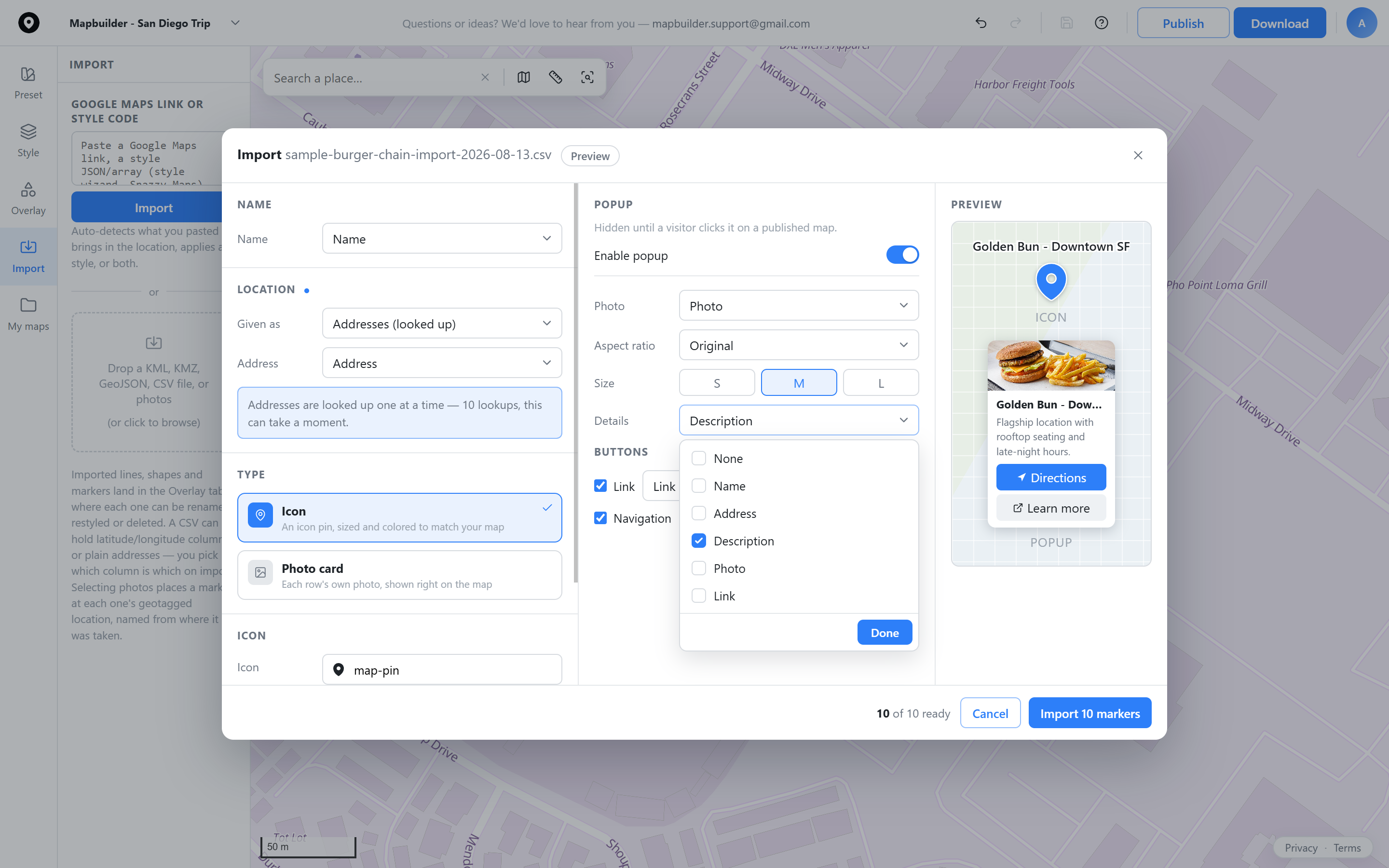
Map your columns to name, address, and popup fields, preview the result, then import every row as a marker.
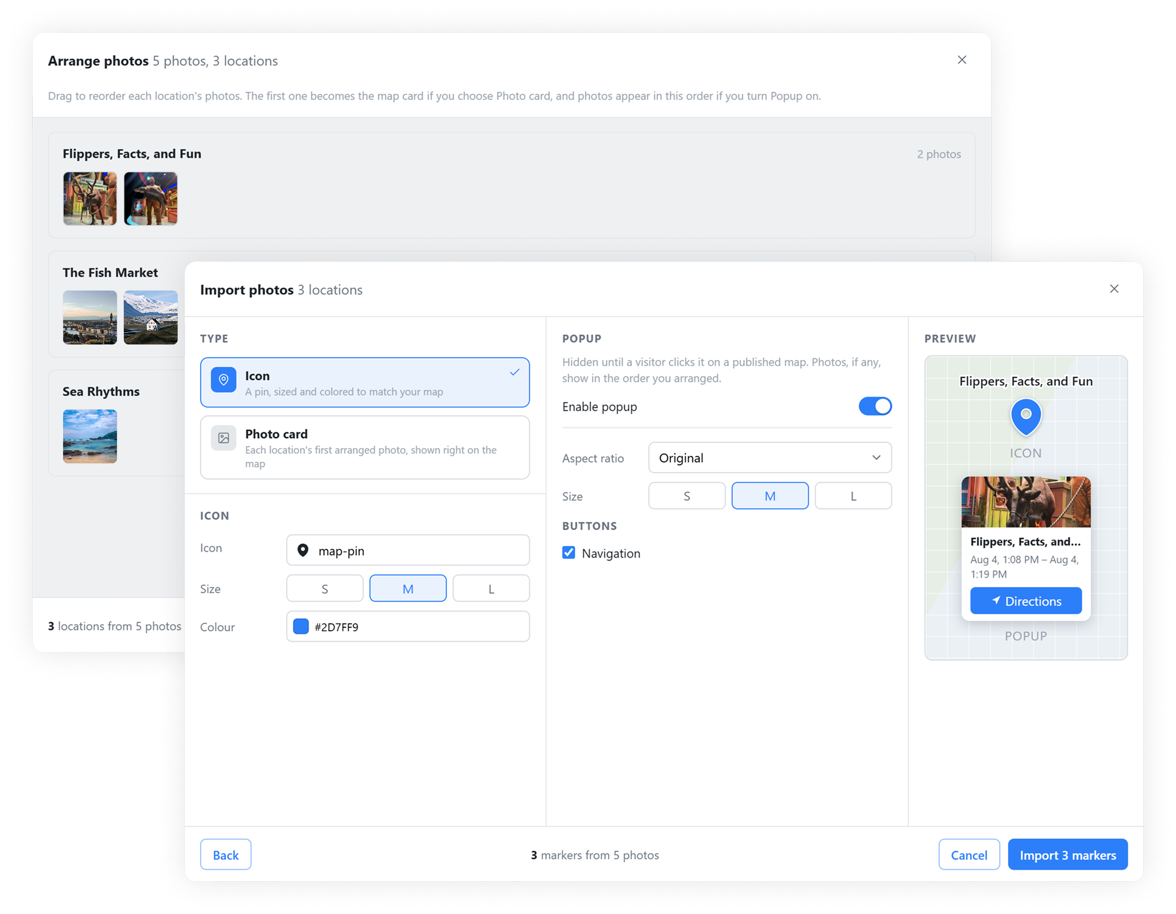
Auto-extract the geotag from your photos and group them into markers, arranged exactly how you want them shown.
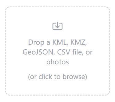
Bring in your own boundary or route file and it lands right on the map, ready to restyle.
 Map builder