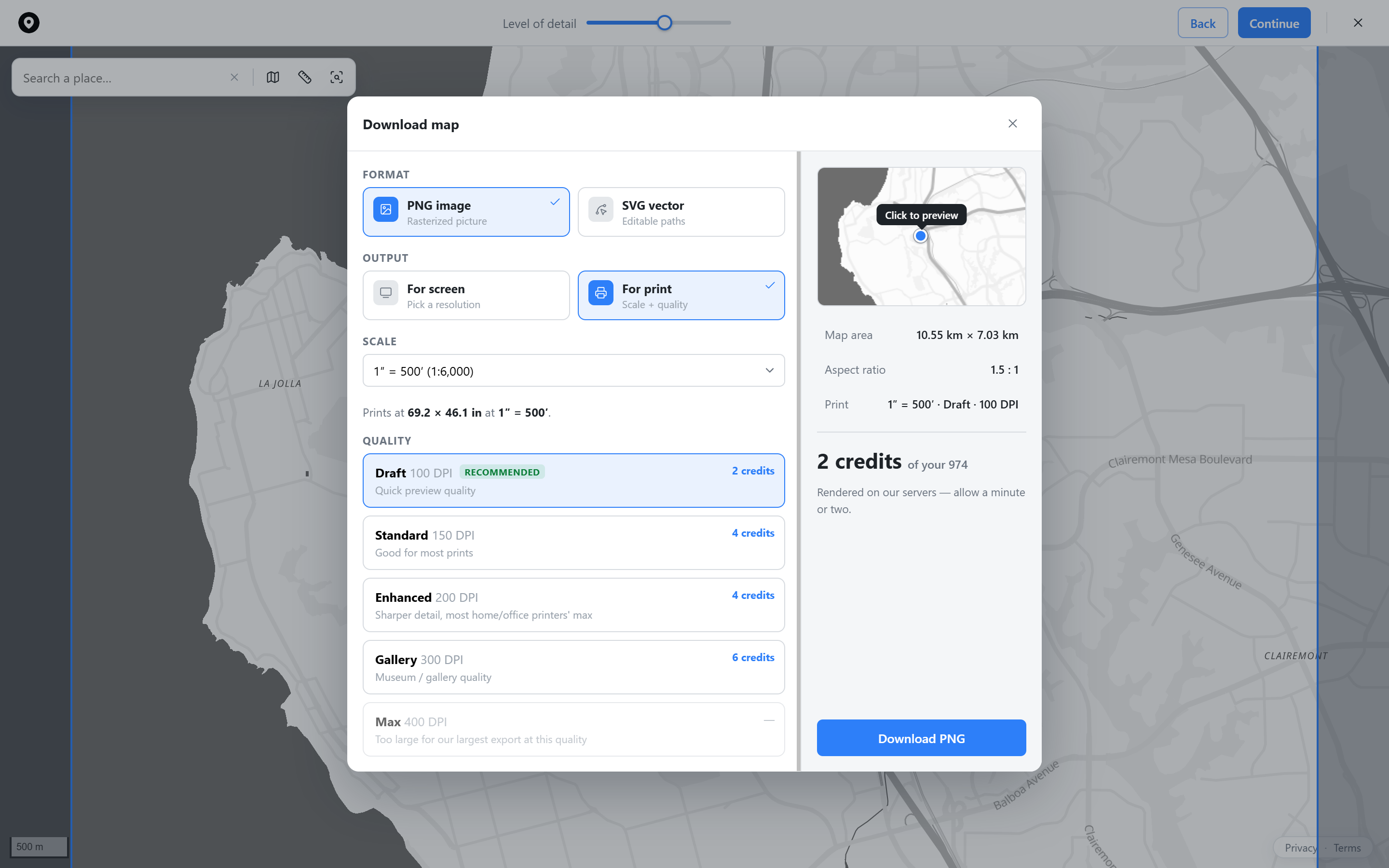
A print-ready PNG, a true vector SVG, or a precisely framed crop, control the resolution, area, and detail yourself.
Sized for anything from a phone wallpaper to a gallery print, with clear scale and DPI options.
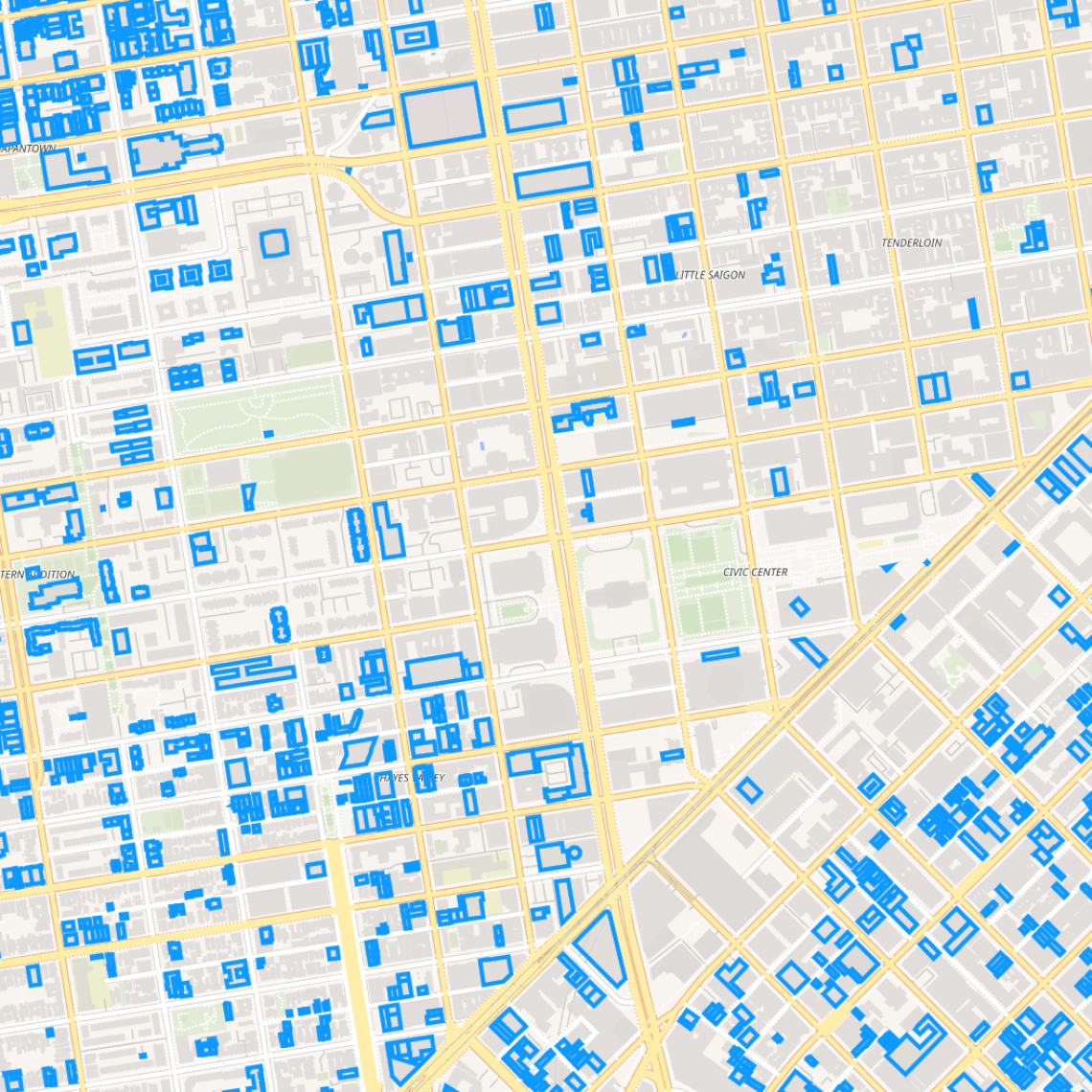
Every road and building stays a real, editable path, crisp at any size, not a blown-up raster image.
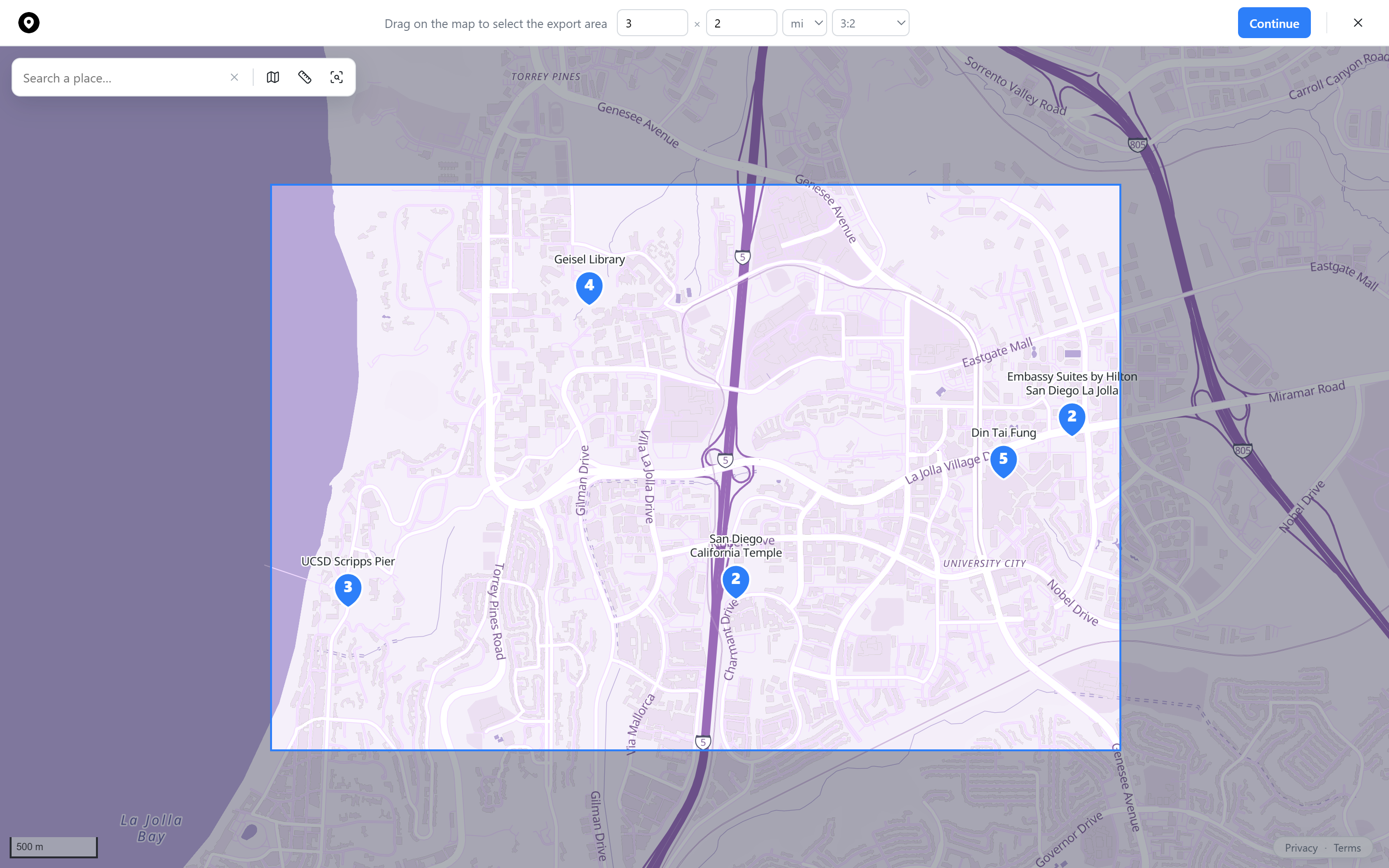
Drag directly on the map to set the export bounds, then dial in the width, height, and ratio.
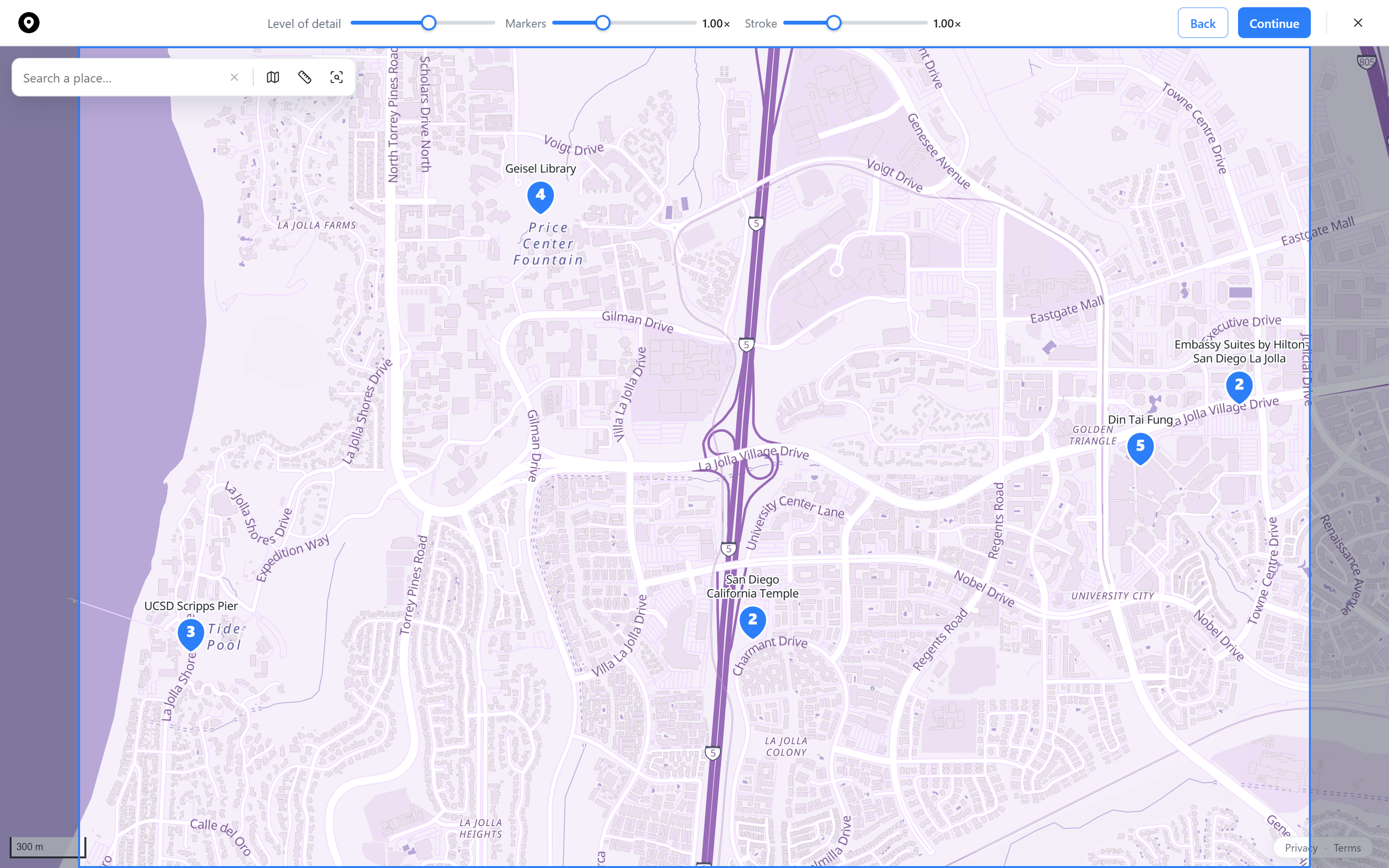
Adjust label density, marker size, and stroke weight before you export, what you see is what you get.
 Map builder