Put every listing on one map, each shown as its own photo, with the price and a link to the full listing. Here is a real map from a Bay Area real estate team, and how to build one.
This live map shows nine homes for sale from Hillsborough to Saratoga. Zoom in to see each home's photo, tap one for its price and details, or look below the map for the team and the full list of listings.
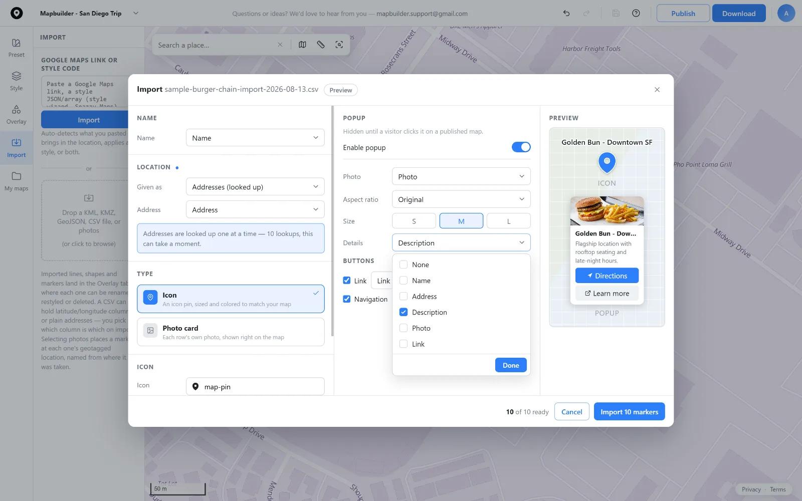
Export your listings to a CSV with an address or coordinates, a name, a photo URL and a link to each listing page. Import it and match the columns. Any other columns, like price and year built, go into each home's popup, as they do here. Link a Google Sheet instead, and you can pull changes to the map again when a home sells or a new one lists.
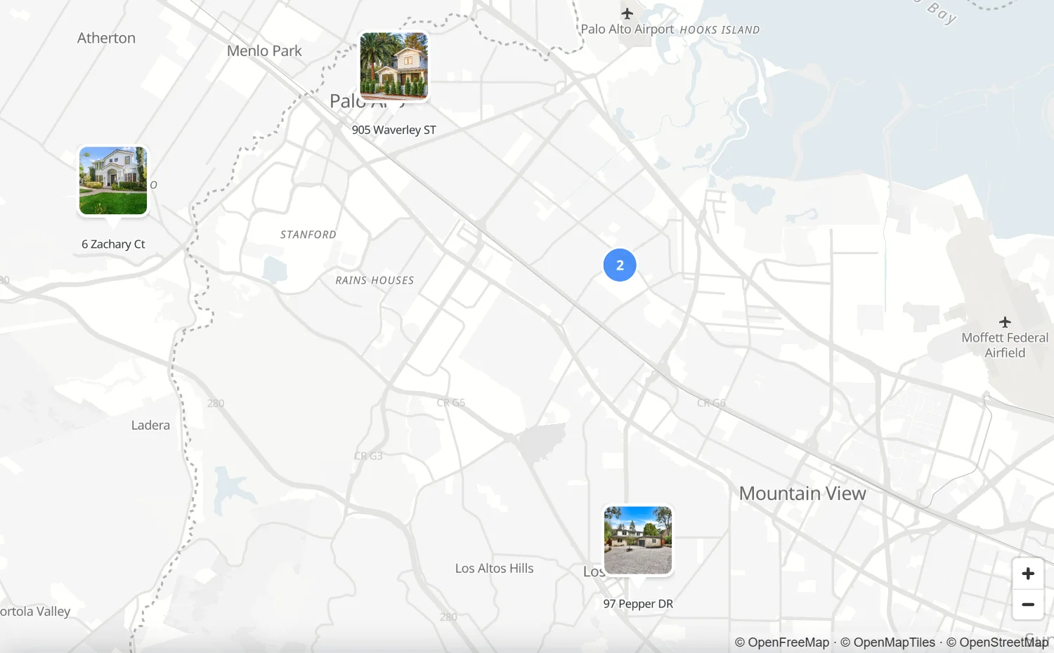
Set the markers to Photo card, and the listing photo becomes the marker, so buyers see the house before they tap it. Homes close together group into a numbered circle until a buyer zooms in. A quiet gray map style, like this one, keeps the attention on the homes, not the streets.
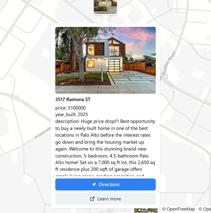
Tapping a home opens its popup: a large photo, the price, the year built and the description. Below it, Directions opens the route to the home, and Learn more goes to the listing page on your own website, so the map sends buyers back to you.
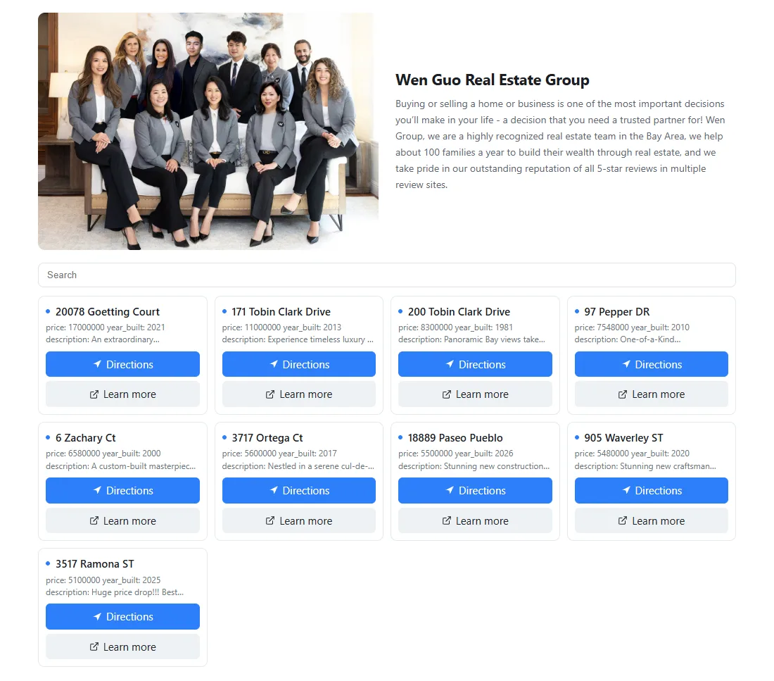
Turn on the Overview panel and choose Below the map. Add a team photo and a few lines about your brokerage, and every listing appears in a grid underneath. Buyers can search it by street, and tapping a listing jumps to it on the map.
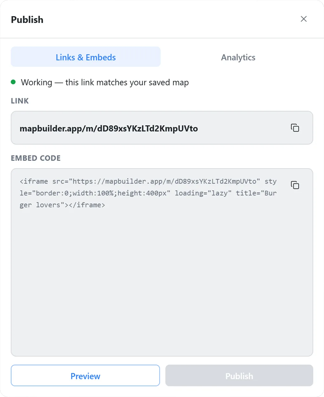
Save the map and publish. You get a link and an embed code to paste into your brokerage site, a property website or any page that allows an iframe. When a listing changes, edit the map and publish again, and the map on your site updates with no new code. An Analytics tab shows the views and clicks for each home.
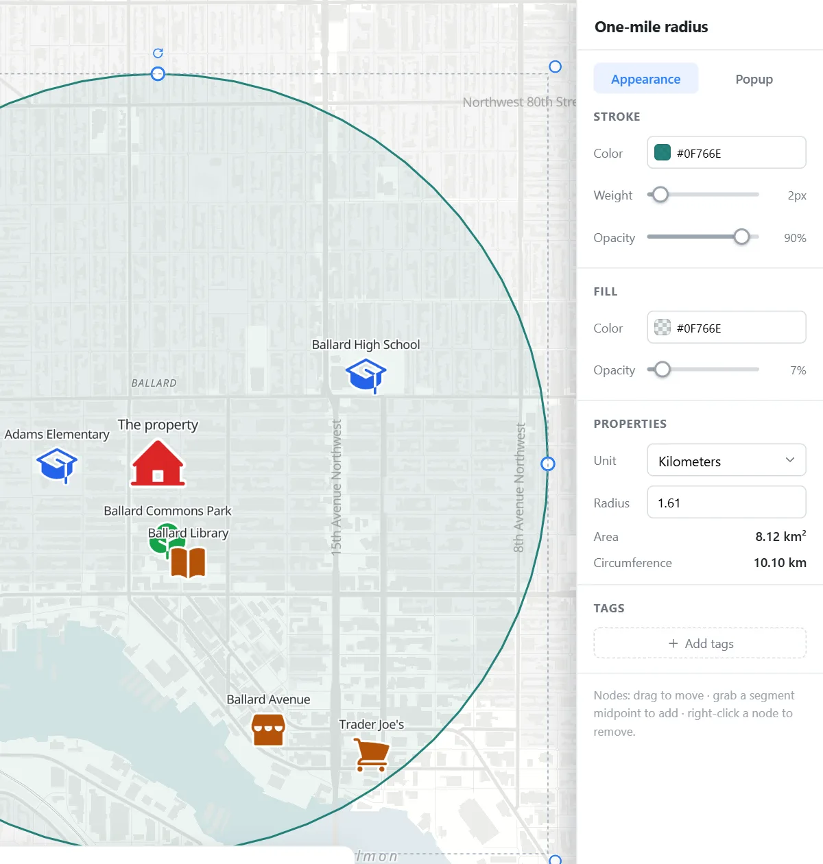
For a single listing, mark the property with a large icon, then pin the schools, parks and shops nearby. Draw a Circle and type an exact radius, like one mile, to show how close everything is. For flyers and brochures, download a PNG at a set print size, or an SVG your designer can edit. Downloads carry the OpenStreetMap credit and are safe to use in listing materials.
Start free, with up to 30 listings on a published map and no card needed.
Export your listings to a CSV and import it, or add each home by searching its address. Set the markers to Photo card, add a link to each listing page, then publish the map and embed it on your website.
If it can export a CSV, yes. Match the address, photo and link columns, and the other columns go into each popup. Importing coordinates is free. Looking up street addresses is a paid feature.
The free plan allows 30 overlays on a published map, Pro allows 150 and Business allows 1,000. Each listing gets its own marker, popup and link.
Yes. Maps use OpenStreetMap data, and downloads carry the required credit, so you can use them on your website, listings, flyers and brochures. That is not true of a screenshot from every map provider.
Every published list can be searched by name, and places can be filtered by the tags you give them, such as a city. A Business plan also adds a search by place with a distance filter.
 Map builder