Plan a trip on one map: numbered stops, a list for each day, photos, notes and directions. Here is a real two-day San Diego itinerary, and exactly how it was built.
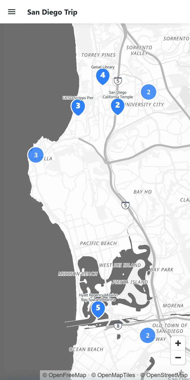
This is a live, published travel map. It covers eleven stops over two days, from La Jolla Cove and the Scripps Pier to tacos in La Jolla and a hotel on Mission Bay. Tap a pin or a row in the list to see each stop.
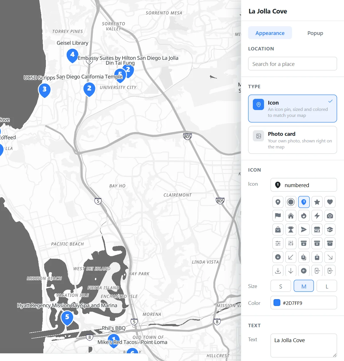
Click Marker, type the name of a place and the pin drops on it. Set its Icon to the numbered pin, so the map reads in the order you will travel. Then give the stop a name, which shows beside the pin. There are also 1,500+ other icons if you prefer a fork for food or a bed for the hotel.
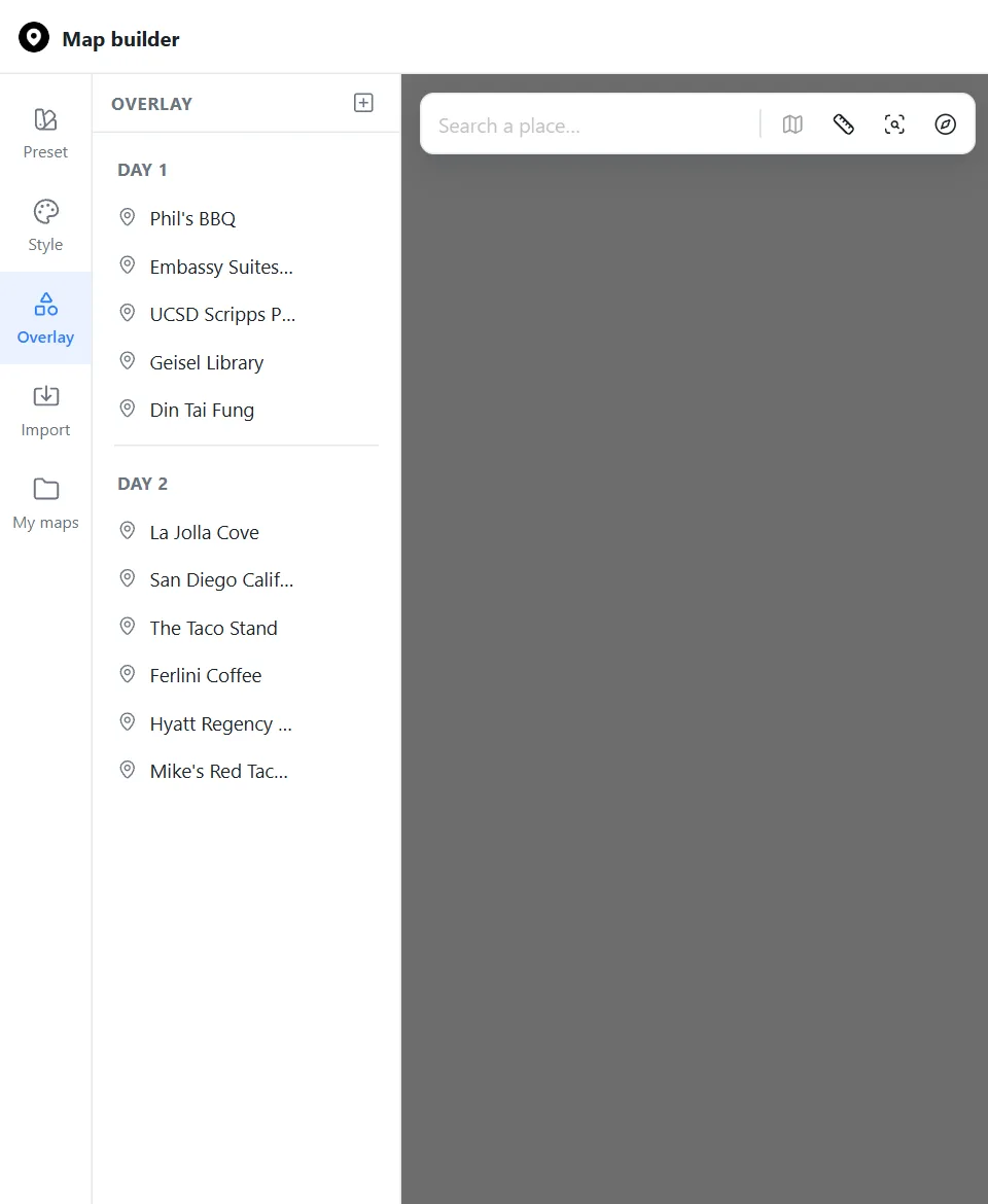
Add a Section for each day, then drag the stops beneath it. Here that is Day 1 and Day 2. The numbers start again in each section, and the same headings appear in the list visitors see, so a two-day trip reads like a real itinerary.
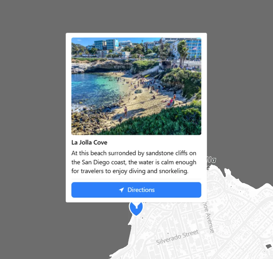
Open a marker's Popup tab to add up to six photos, a short description and a link. A Directions button is on by default, so anyone following your itinerary can navigate straight to the next stop from their phone.
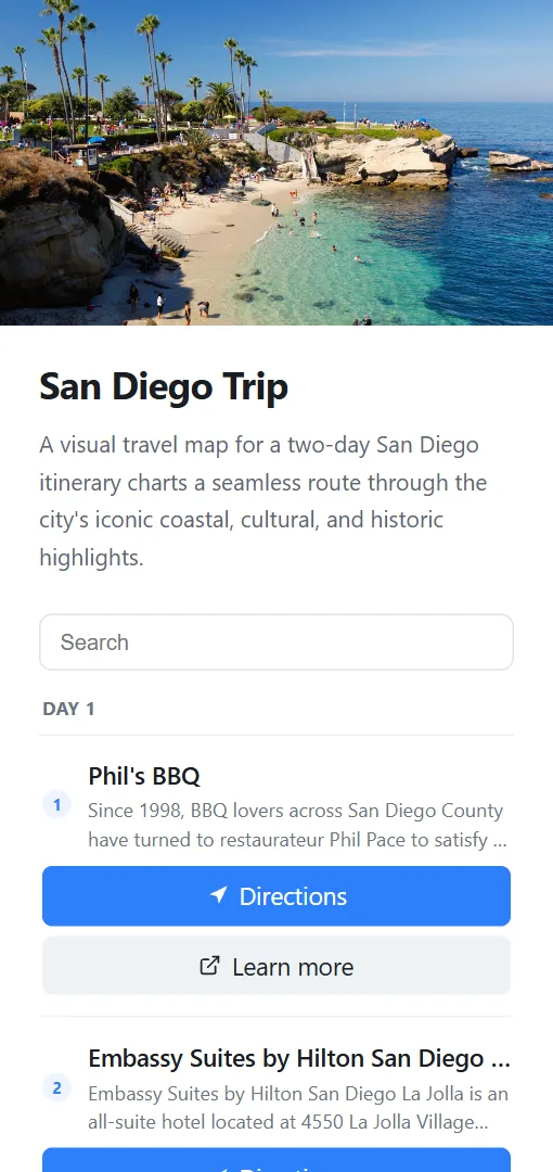
Turn on the Overview panel to add a cover photo, a title and a description beside the map. Every stop becomes a row that jumps to its place on the map. Visitors can also search the list, which helps on a long trip.
The San Diego map uses a quiet gray style so the blue pins stand out. One click swaps in any of the 17 presets, and every road, park, label and body of water can be recolored by hand. Your stops stay where they are.
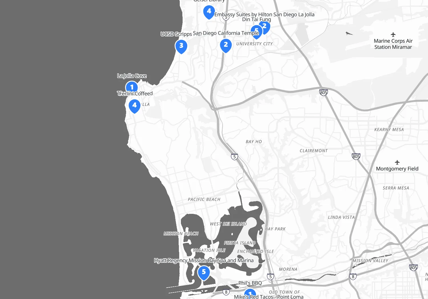
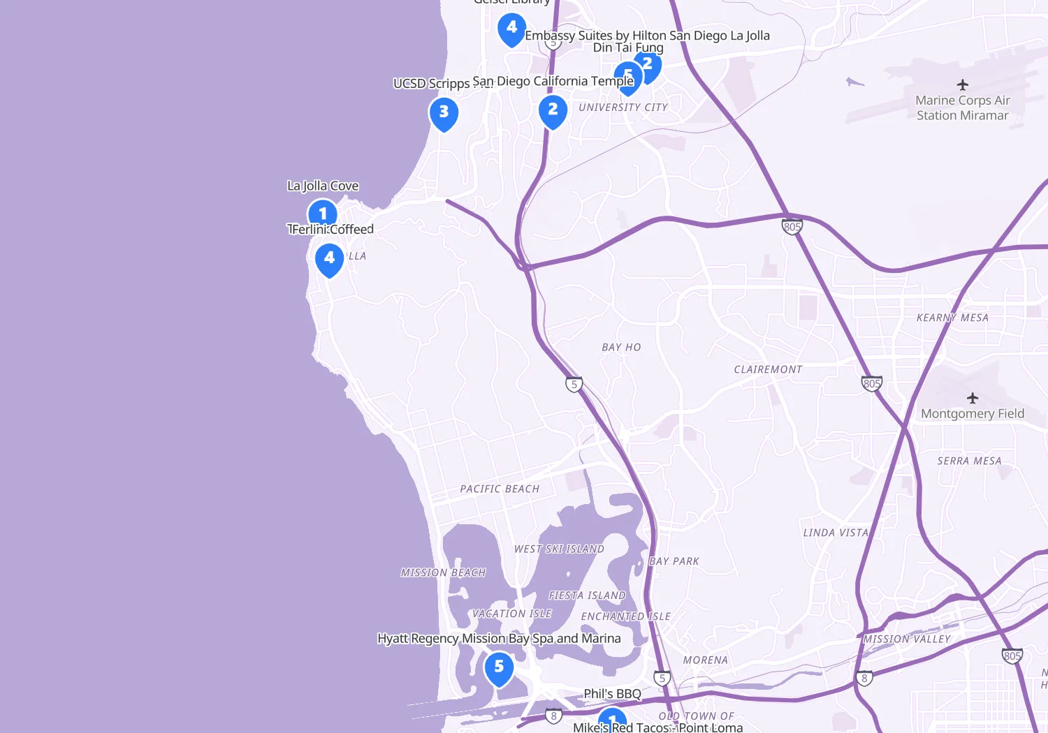
Publish to get a link for your group chat, plus embed code for a travel blog or website. The page works on a phone, so it can come with you on the trip. You can also send a collaborate link so friends can add their own stops. Grouping nearby markers keeps a busy map readable as you zoom out.
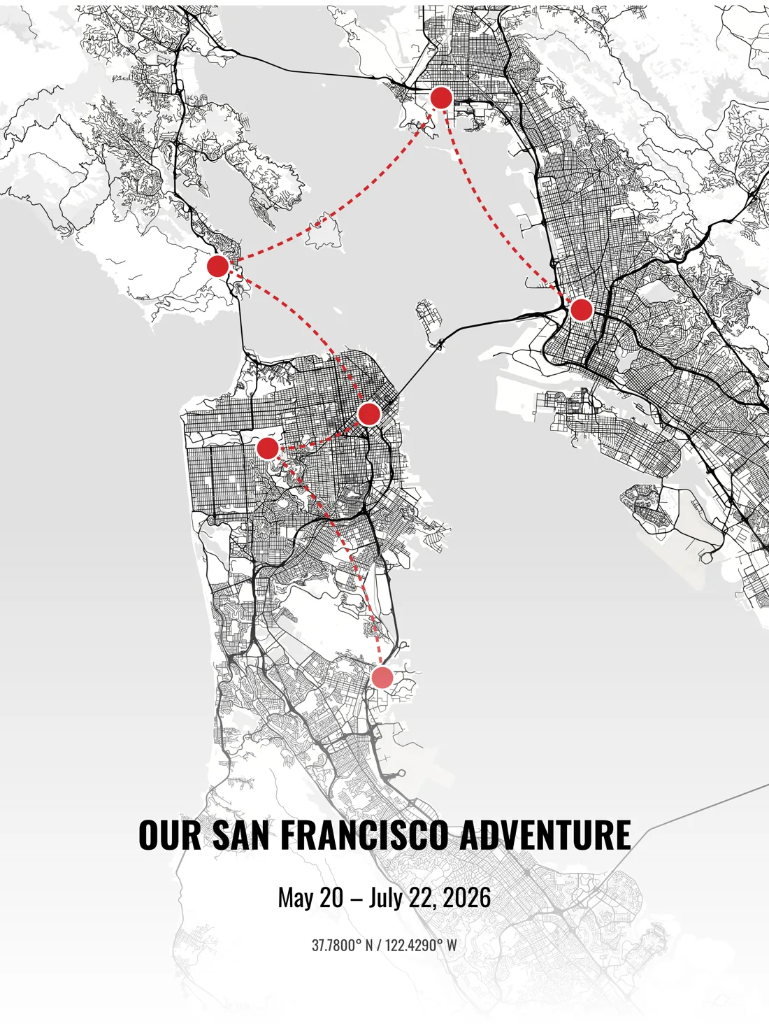
After you get home, turn the trip into a map poster, with each stop labeled where it happened, and order it printed and framed. For a single long drive or hike, see route maps, which cover drawing the line itself.
Start free, with no card needed. Publish a live map of your trip, or download a 2K picture of it.
Yes. The free plan includes styling, publishing and sharing a map with up to 30 overlays, and a PNG download up to 2048px. It is supported by ads. Paid plans raise those limits and remove the ads.
Yes. Publishing gives you a shareable link and iframe embed code that you can paste into your blog or website. The embedded map stays live, so visitors can pan, zoom and open each stop.
Yes. Use the Route tool to connect stops with a straight line, an arc or a smooth curve. Pro and Business plans can also make a route follow the roads.
Yes. Import a CSV, KML, KMZ or GeoJSON file to place many stops at once. Paste a Google Maps link into the Import tab to jump to a place.
 Map builder